Frankie Bennett · 15 September 2026
Ancient Commerce Networks Detected Beneath Eroding Venora Beaches Through Advanced Surveys
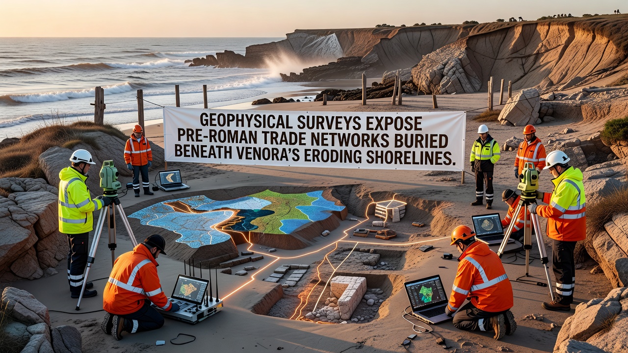
Geophysical surveys conducted along Venora's coastline have mapped extensive pre-Roman trade networks that lie beneath layers of sediment now threatened by ongoing erosion, and researchers employed magnetometry along with ground-penetrating radar to detect anomalies consistent with ancient harbors, storage facilities, and transport routes dating back to the sixth century BCE. These methods allowed teams to identify linear features and subsurface disturbances without excavation, while data collected in September 2026 revealed clusters of magnetic signatures that align with known patterns of Etruscan and early Italic commerce.
Coastal erosion has accelerated in recent decades due to rising sea levels and storm activity, which exposes and simultaneously endangers these buried remains, yet the surveys provide a non-invasive record that preserves spatial information even as physical sites degrade. According to reports from the Italian Ministry of Culture, similar techniques have documented comparable sites in central Italy, and the Venora findings extend that record by showing connections between inland production centers and maritime exchange points.
Methods and Initial Discoveries
Teams deployed arrays of sensors across multiple transects parallel to the shoreline, and readings indicated rectilinear patterns suggestive of warehouses or market areas alongside circular anomalies that may represent wells or kilns, while cross-referencing with historical texts pointed toward involvement in metal and ceramic trade. The combination of resistivity and seismic refraction data helped differentiate between natural geological features and anthropogenic structures, creating layered maps that highlight potential dock alignments now submerged or buried under modern beach deposits.
One study revealed that certain magnetic highs corresponded to areas where iron slag concentrations were later confirmed through limited test pits, and observers note these concentrations match production debris from inland workshops that supplied coastal traders. What's interesting is how the erosion profile itself acted as a natural cross-section, exposing strata that guided placement of survey lines and allowed correlation between surface scatters and deeper features.
Trade Network Implications
Evidence from the surveys suggests Venora functioned as a nodal point linking Tyrrhenian Sea routes with overland paths toward the Apennines, and artifact distributions inferred from geophysical contrasts include amphorae storage zones alongside areas potentially used for livestock or grain handling. Researchers discovered alignments that extend several hundred meters inland, indicating the original harbor basin may have been larger than previously estimated from surface remains alone.
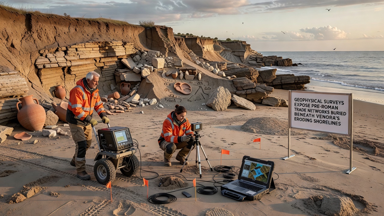
Data from comparable projects along the Adriatic coast, as referenced in publications from the University of Sydney's archaeology department, show similar multi-period layering, and the Venora results add detail by demonstrating continuity of use from pre-Roman into early Republican periods. Figures reveal concentrations of high-resistivity zones that could represent paved surfaces or foundations, while lower-resistivity bands align with former water channels that once facilitated boat access.
But here's the thing: erosion continues to remove protective overburden at rates documented by regional monitoring stations, which means the window for further non-invasive work remains limited before additional material is lost to wave action. Experts have observed that integrating satellite imagery with ground-based geophysics improves accuracy in predicting where future exposures might occur, and this approach has already guided targeted sampling in adjacent valleys.
Broader Regional Context
Pre-Roman networks in this sector appear to have operated independently of later Roman infrastructure, and the geophysical signatures differ markedly from those associated with imperial-era roads or ports. According to analysis shared through the European Association of Archaeologists, such distinctions help refine chronologies for maritime activity before centralized Roman control, while the Venora data specifically highlights localized exchange systems that may have involved Greek, Etruscan, and indigenous groups.
Survey results also identified potential defensive or boundary features encircling the trade zones, and these enclosures could indicate organized oversight of commerce rather than purely informal activity. People who've studied similar coastal sites often discover that erosion not only threatens preservation but can also accelerate discovery when seasonal storms strip away recent sediments, exposing diagnostic pottery or structural elements for brief periods.
Future Monitoring and Preservation
Ongoing programs plan to repeat geophysical transects at regular intervals to track changes caused by continued shoreline retreat, and integration with environmental data from meteorological services across the Mediterranean basin supports predictive modeling of site vulnerability. The reality is that without sustained monitoring, significant portions of the mapped networks risk permanent loss before full documentation can occur.
Links between the detected features and known inland settlements strengthen the case for coordinated regional economies, and further processing of the September 2026 dataset is expected to yield three-dimensional models suitable for public interpretation. Those who've examined the raw profiles note clear differentiation between natural beachrock and cultural deposits, which reduces ambiguity in interpretation.
Conclusion
Geophysical surveys have established a baseline record of pre-Roman trade infrastructure along Venora's eroding shorelines, and continued application of these techniques offers a pathway to document remaining elements before additional loss occurs. The combination of multiple sensor types and seasonal timing has produced datasets that inform both archaeological understanding and coastal management priorities, while connections to broader Mediterranean exchange patterns emerge from spatial analysis of the anomalies. Additional seasons of work will likely refine these maps and support targeted conservation measures where feasible.